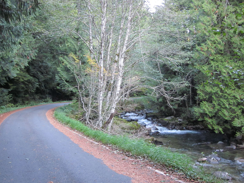
Farewell to the Mountains
Autumn is a melancholy time. In Seattle, it is hardly noticeable, as the weather gradually gets cooler and wetter. But in the Cascade Mountains, the change of the seasons is swift and spectacular: Cold nights turn deciduous foliage into bright hues of yellow for a brief time, before snow falls and closes most of the scenic passes until June or July.
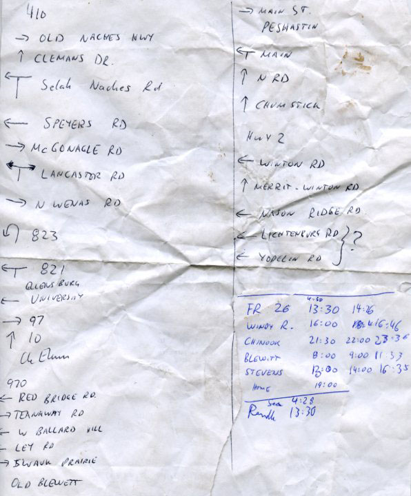
What better way for a last farewell ride than to string together many of my favorite roads? My pre-PBP-year* training usually includes a ride at least 3/4 as long as the event itself, so I quickly mapped a 930-km course. The route out of Seattle isn’t exactly the one I followed, as some roads are closed for cars, and the mapping program doesn’t allow using them (click here for course).
* Paris-Brest-Paris is a 1200-km (765-mile) randonneur event held every 4 years in France.
Last week, the forecast predicted snow levels dropping to 3000 feet, and I realized that my last chance for this ride had come. Without much time to plan, my route sheet for the unfamiliar parts of the ride was a bit rudimentary, but navigation in the mountains isn’t complicated since there are few roads.
Next came planning my schedule. I prefer to descend mountain passes in daylight. Not only can it be very cold descending for half an hour or more in late October, but the fall colors cannot be enjoyed at night. I jotted down a quick schedule and worked out that if I left around 4 in the morning, I could cover all but one pass in daylight, and might even get back at a reasonable time the following evening. The schedule was even rougher than the route sheet, as I did not adjust the average speeds for the terrain. My actual times are in the last column, which will help me plan future rides along these roads. (Click on the images for larger versions.)
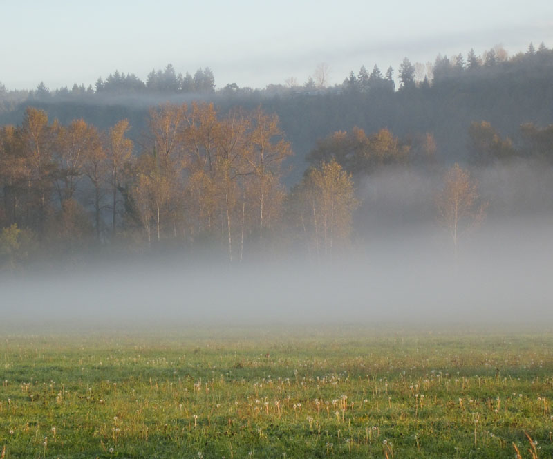
So I left at 4:30 in the morning. After enduring morning commuter traffic (fortunately headed the other way), I reached Orting just after sunrise. Orting is the last of the suburbs, where the landscape transitions to meadows and forests. I turned off the highway. Fog was rising from meadows heavy with dew, and blue skies above were announcing a gorgeous autumn day.
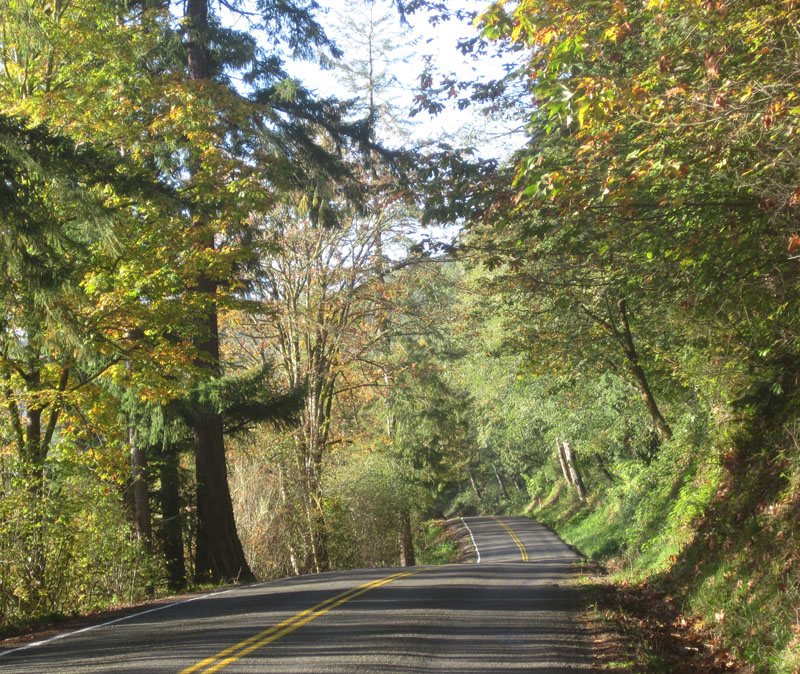
“My favorite roads” was the theme of this ride, and few are more favorite than Orville Road along Ohop Lake. Its gentle undulations lent a nice rhythm to my effort. I enjoyed looking at the beautiful patterns of light and shade on the pavement. Between the trees, I caught glimpses of the meadows, lakes and even Mount Rainier in the distance.
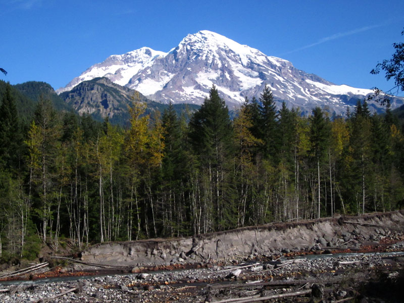
Skate Creek Road is another favorite, and well worth the two-hour detour it took to get there. During my first summer in Washington, I rode and hiked almost every inch of this valley as I mapped its glacial geology. Under the bucolic cover of trees are the scars of an eventful past, with landslides, floods, debris flows and other events eroding and depositing material, as is visible in the photo in the river bank. Today, I just enjoyed the views of Mount Rainier at its barest, before new snow covers its flanks.
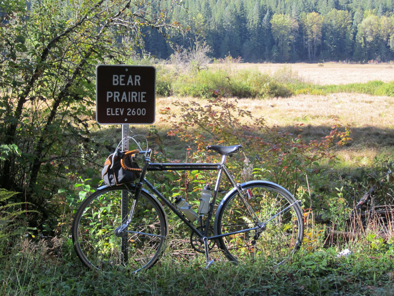
The sign at Bear Prairie reminded me why it’s always an effort to get there. Almost imperceptibly, the Nisqually River valley climbs 1200 feet in just under 20 miles.
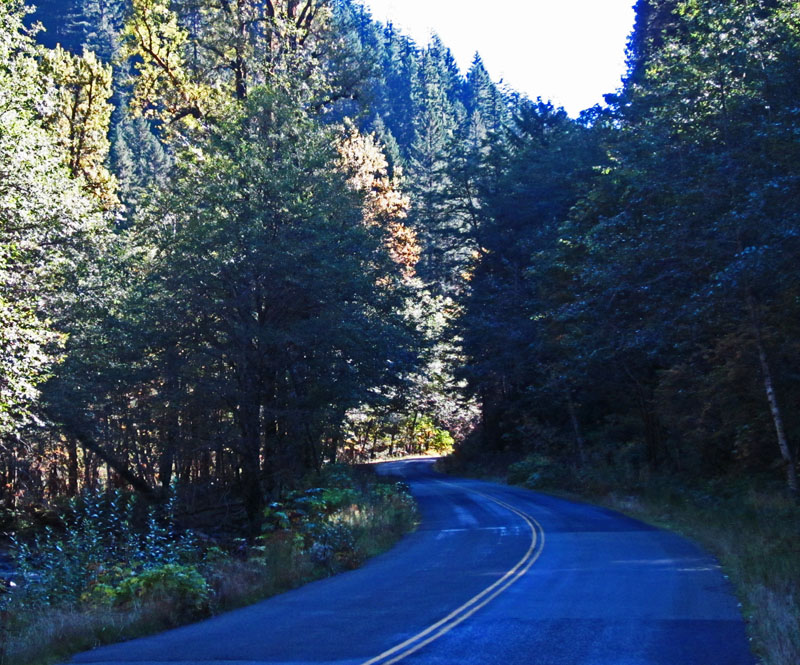
Skate Creek Road then drops 700 feet in a few miles. It’s not so steep that you can coast, but the gradient helped me speed along. I took the challenging turns (below) at good speed, and that was great fun.
In Packwood, I turned westward again, taking in some recently discovered side roads as pleasant alternatives to the main highway. In Randle, I turned south toward Mount Saint Helens.
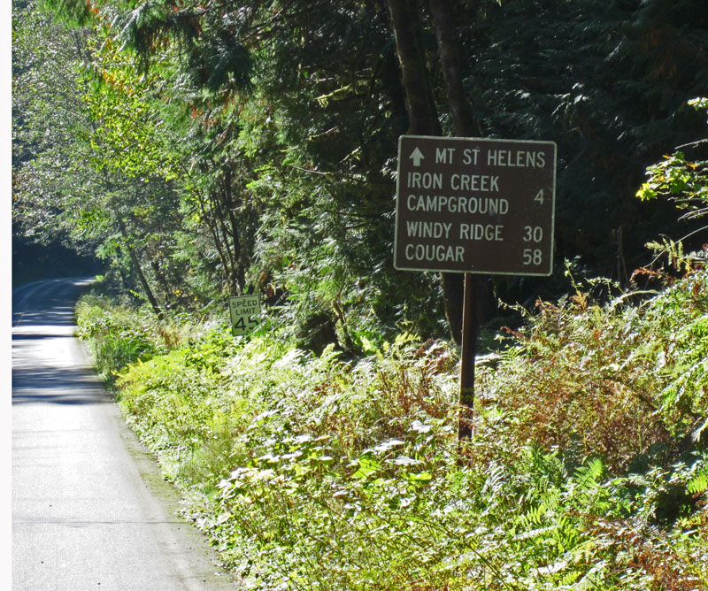
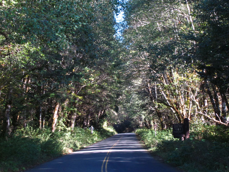
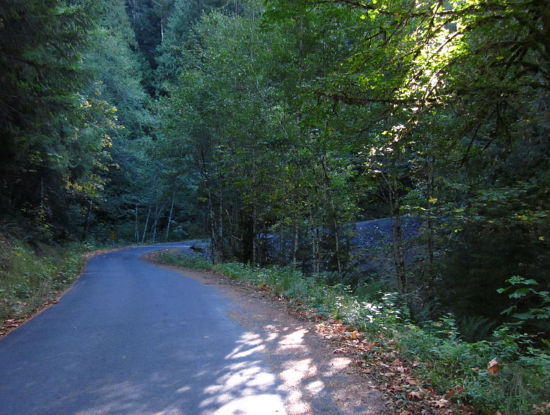
I passed the sign that announces 30 miles of beautiful, almost uninterrupted, mountain climbing. It starts with shady, curvy Forest Road 25 (below).
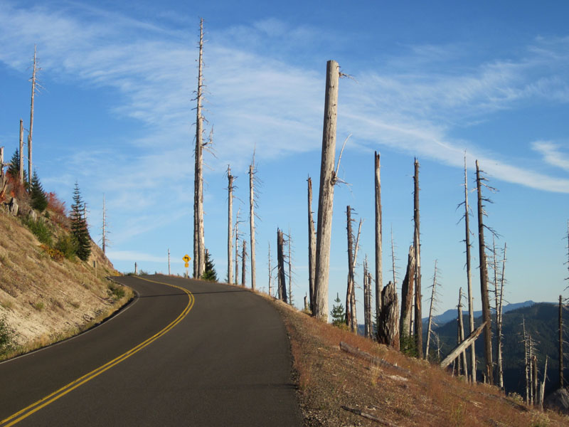
Forest Road 26 (below) is even better than FR25, since it sees almost no traffic. It is a steep, single-lane ribbon of asphalt that winds up the slopes of the mighty volcano, Mount St. Helens. Every time I start this climb, I feel that the outcome of the battle between cyclist and mountain is slightly uncertain. Will I make it?
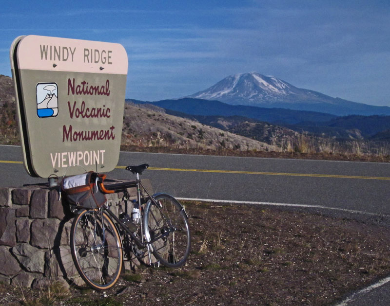
This time, I climbed smoothly and stopped only once, briefly, to stretch my legs on the steepest stretch. I felt a sense of accomplishment when I reached Norway Pass and joined the “main” road to Windy Ridge. The blasted trees from the 1980 eruption make this area a bit desolate. The lack of trees allows you to look over the Cascades and see the volcanic peaks of Mt. Adams, Mt. Rainier and Mt. Hood in the distance (see opening photo). It’s a rare feeling of being on top of the world. The descents on the return from Windy Ridge are spectacular, with the road forming a continuous string of curves that test the bike’s handling to the limit.
I resisted the temptation to take one scenic photo after another. October days are short, and my schedule called for descending Forest Road 25 before dark.
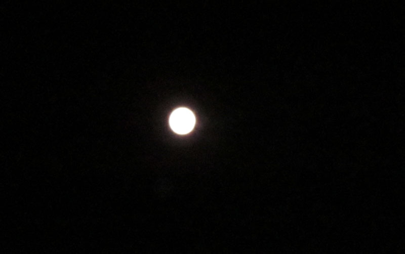
After a brief rest stop in Packwood, where the food is best forgotten, I headed up Cayuse Pass, then Chinook Pass. Mount Rainier was gleaming in the moonlight, and for almost two hours of climbing, I did not see a single car. Even though it was warm for an October night, I wore every bit of clothing I brought for the descent from Chinook Pass: wool shorts, Windstopper leg warmers, wool tights, wool socks, booties, two long-sleeve wool jerseys, rain jacket, fleece gloves, shell overmitts, skull cap and helmet. Tonight, the long descent offered views of the valley below and of the rocky slopes in the silvery light.
My small digital camera could capture only the moon, which is why you don’t also see Mount Rainier in the photo. I understood why Ansel Adams kept coming back to the western mountain ranges in the moonlight… It’s magical, especially on a warm night like this one.
When I finally did feel sleepy, I stopped in Cliffdell, removed my helmet and lay down on the porch of a shop for a short nap. I fell asleep immediately. I woke up because I was getting cold. I checked my watch: Only 9 minutes had passed, but I was ready to go.
I try to find backroad alternatives to the main highways, but I hadn’t investigated this area on a map yet. As “luck” would have it, a massive landslide has blocked the main highway, and traffic was re-routed over an older road that meanders along the river. Eventually, the highway will be rebuilt, but I will continue to use that backroad.
My hasty preparation let me down in Yakima. My cue sheet showed a “T-junction.” I anticipated that junction for a long time… until I found myself on the main highway to Yakima again. After more than an hour riding on various highways, I found a gas station and borrowed a map. I realized that my “T junction” was actually a small sideroad to the left in the middle of a curve to the right. I had followed the road to the right, and never noticed the small sideroad I should have taken.
It was with great relief that I finally found myself on Canyon Road toward Ellensburg. Canyon Road is lovely, but the moon had set, and it was too dark to see much. I enjoyed the road rising and falling along the sides of the canyon, although I was distracted with thoughts of breakfast. One of my favorite restaurants, the Valley Cafe, is in Ellensburg. I arrived at 7 in the morning; alas, the cafe opened at 11. Instead of breakfast, I got to fix a flat tire at a grocery store! A long thorn had punctured my tube.
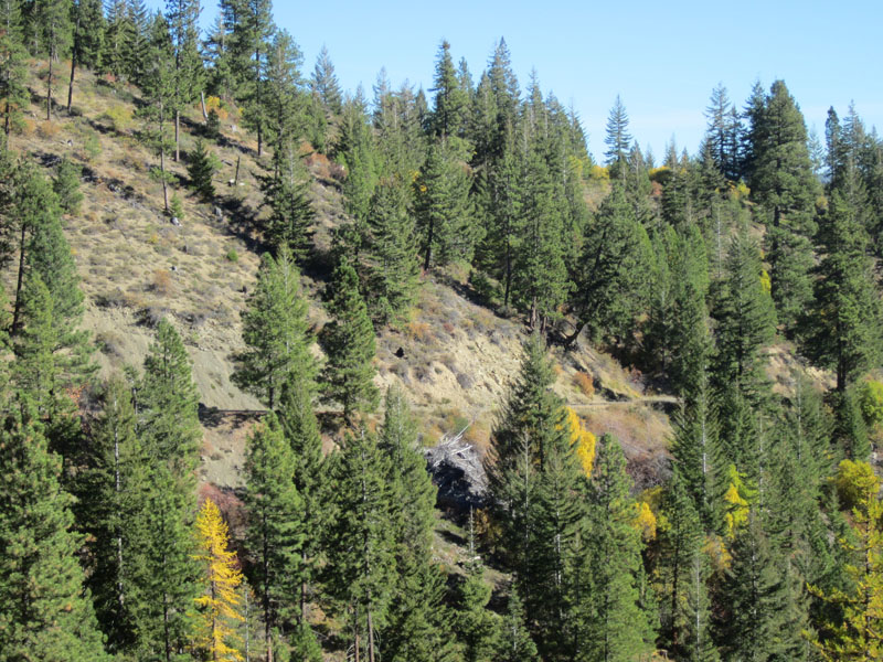
At least it was a gorgeous morning. My misfortune in Yakima had put me behind schedule. I decided to forgo the short detour over Old Highway 10 that loops above the Yakima River. Instead, I headed straight toward old Blewett Pass. The old road up this pass blends into the landscape: You can barely see it in the middle of the photo below.
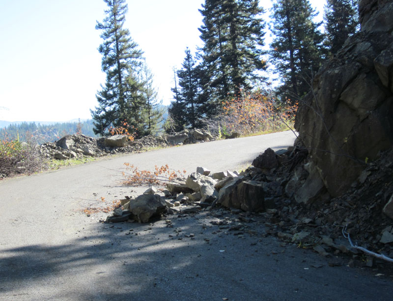
The mountain continuously tries to reclaim this road. I rounded a sharp bend and came upon a few rocks that had fallen onto the road. I was reminded once more why I prefer bikes that allow adjusting their line in mid-corner. Good brakes are useful, too.
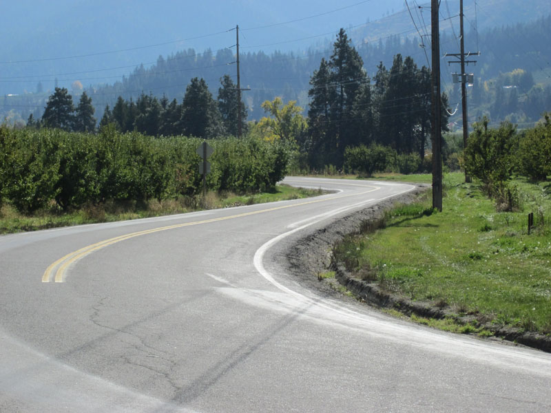
Favorite roads aren’t always super-spectacular. Sometimes, they just provide a pleasant alternative to a major highway. Between Peshastin and Leavenworth, there is a lovely road winding its way on the glacial terraces above the Wenatchee River (below). Who wouldn’t rather ride through the orchards up here than on the busy highway in the valley?
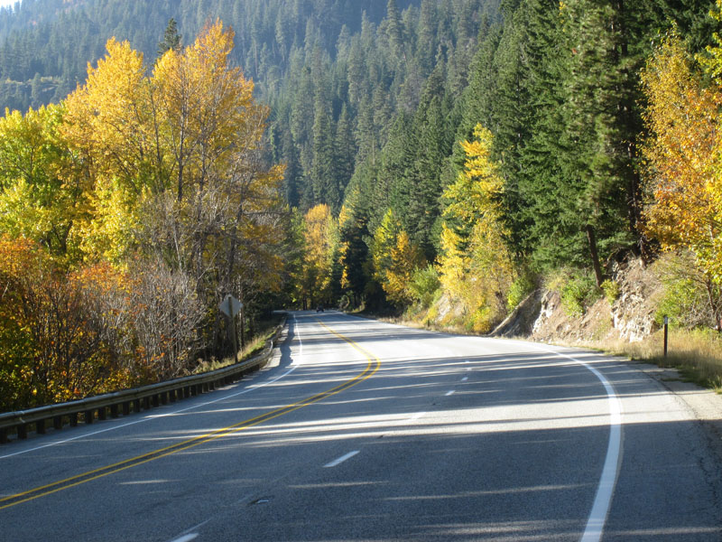
I haven’t found any alternatives to most of the main highway up to Stevens Pass, but traffic was light, the shoulder was clean, and the trees had beautiful fall colors.
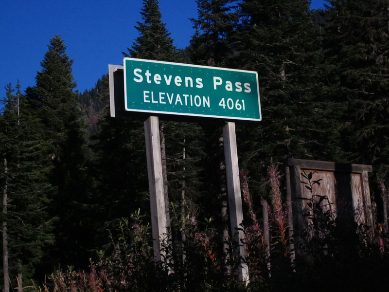
I reached Stevens Pass as the light began to fade on the second day of my ride.
On the other side of the pass, the old highway remains intact for many miles, often just a hundred feet from the busy highway. Instead of trucks thundering down the grade, you hear the burbling of a brook, which eventually will become the mighty Skykomish River. That evening, lots of chipmunks scampered off the road as I approached.
I zoomed through Skykomish, then took the side road to Index. I climbed over Reiter Road as the sun was setting in the Puget Lowland far to the west. Reiter Road is perhaps the crown jewel of any ride. I was afraid that after more than 800 km on the road, I would regret taking this rolling road instead of the downhill highway, but the opposite happened. I felt inspired by the road, and it mobilized energies I did not know I had. This invigoration carried me all the way to the outskirts of Seattle. I was home before midnight and back at my desk the next morning.
Two days later, the snow started, and today, the passes were covered in snow. This also completed my PBP training for the year. Now I will rest for two months until I start training again for the new season with a focus on PBP. In the coming months, I will talk about preparing and training for this wonderful 1200 km event.


