Farewell to the Mountains (2010)
Ideally, I’d head to the mountains for a few days of riding, out of cell range and unplugged from the news that don’t have anything new to report at this stage any longer. However, winter has already come to the Cascade Mountains, and I’ve got the next Bicycle Quarterly to finish, so my rides in the next few days will be short and local.
Daydreaming, I remembered a trip I took many years ago at this time of year. It was a great adventure for all the right reasons, and now I am inspired to repeat it in the future. Here is the story I wrote back then, lightly edited. The photos are so-so—digital cameras have come a long way in the last 14 years. The route file was lost when bikerouteoaster.com went out of business. Back then, I rode my trusty 1973 Alex Singer, a bike Ernest Csuka of Cycles Alex Singer found for me. It had already been ridden hard for decades, and I added many memorable miles to that. I built my first 650B rando bike the following year.
Make yourself a cup of tea, hot chocolate, coffee, or whatever, pull up a chair, and join me on a trip down memory lane, when Obama was president, before cell phones and GPS were common—and yet the mountains were the same as they are now, and will be for centuries to come.
Autumn is a melancholy time. In Seattle, it is hardly noticeable, as the weather gradually gets cooler and wetter. But in the Cascade Mountains, the change of the seasons is swift and spectacular: Cold nights turn deciduous foliage into bright hues of yellow for a brief time, before snow falls and closes most of the high passes until June or even July.
What better way for a last farewell ride than to string together some of my favorite roads? My pre-PBP-year* training usually includes a ride at least 3/4 as long as the event itself, so I quickly mapped a 930-km (580-mile) course.
* Paris-Brest-Paris is a 1200-km (765-mile) randonneur event held every 4 years in France.

Last week, the forecast predicted snow levels dropping to 3000 feet (1000 m). I realized that my last chance for this ride had come. My route sheet included only the unfamiliar parts of the ride. [Remember, this was pre-GPS.] Without much time to plan, my notes were a bit rudimentary, but navigation in the mountains isn’t complicated since there are few roads.
Since this was PBP preparation, I also planned a schedule (in blue pen). Why a schedule at all? I prefer to descend mountain passes in daylight. I get very chilled when descending a mountain pass for half an hour or more in late October at night. Just as importantly, the autumn colors can only be enjoyed during daytime. I jotted down a quick schedule and worked out that if I left Seattle around 4 a.m., I could cover all but one pass in daylight, and might even get back at a reasonable time the following evening. The schedule was even rougher than the route sheet, as I did not adjust the average speeds for the terrain. My actual times are in the last column—it always seems to take longer to climb big passes than I anticipate. Jotting down my actual times helps with planning future rides along these roads.

Getting a bit of a late start, I left at 4:30 in the morning. As I rode south, commuter traffic picked up. The cars were going the other way—toward Seattle—but I was surprised by how much of a headwind a steady stream of cars coming toward me on the 2-lane road created. I reached Orting, the last of the suburbs, just after sunrise. Here the landscape transitions to meadows and forests. I turned off the highway. Fog was rising from meadows heavy with dew, and blue skies above were announcing a gorgeous autumn day.

‘My favorite roads’ was the theme of this ride, and few are more favorite than Orville Road along Ohop Lake. Its gentle undulations lent a nice rhythm to my effort. I enjoyed looking at the beautiful patterns of light and shade on the pavement. Between the trees, I caught glimpses of meadows, lakes and even Tahoma (Mount Rainier) in the distance.
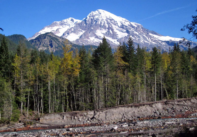
Skate Creek Road is another favorite, and well worth the two-hour detour it took to get there. During my first summer in Washington, I rode and hiked almost every inch of this valley as I mapped its glacial geology. Under the bucolic cover of trees are the scars of an eventful past, with landslides, floods, debris flows and other events eroding and depositing material, as is visible in the photo in the river bank. Today, I just enjoyed the views of Tahoma (Mount Rainier) at its barest, before new snow covers its flanks.
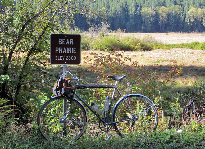
The sign at Bear Prairie reminded me why it’s always an effort to get there. Almost imperceptibly, the Nisqually River valley climbs 1200 ft (400 m) in just under 20 miles (32 km). It’s basically a giant false flat.
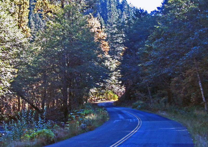
Skate Creek Road then drops 700 ft in just a few miles. It’s not so steep that you can coast, but the gradient helped me speed along. The many turns make this section great fun—one of the best roads anywhere.
In Packwood, I turned westward again, taking in some recently discovered side roads as pleasant alternatives to the main highway. In Randle, I turned south toward Loowit (Mount Saint Helens).

Forest Road 25 is a narrow, curving strip of blacktop that scales the flanks of the great volcano. The crowns of the trees touch above the road, providing shade and painting a beautiful pattern of light and shade onto the pavement. There are few better places to ride a road bike…

This sign always reminds me of the enormity of the task ahead. For the next 30 miles (48 km), the road goes uphill, often quite steep. On this day, my bike and body worked in unison, and the next few hours were pure bliss.
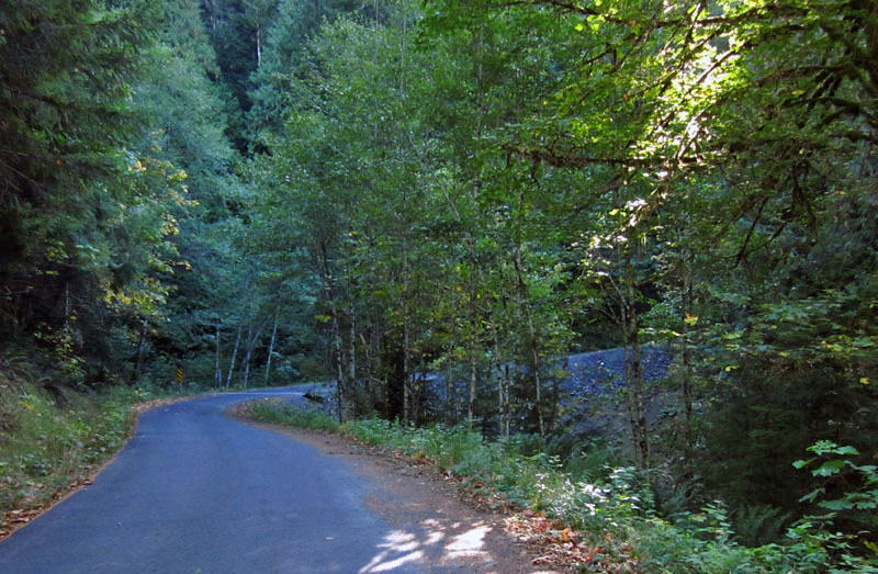
Forest Road 26 is even better than FR25. There is no center line, since this road sees almost no traffic. It’s a steep, single-lane ribbon of asphalt that winds up the slopes of the mighty volcano. Every time I start this climb, I feel that the outcome of the battle between cyclist and mountain is slightly uncertain. Will I make it, especially with 12 hours of non-stop riding already in my legs?
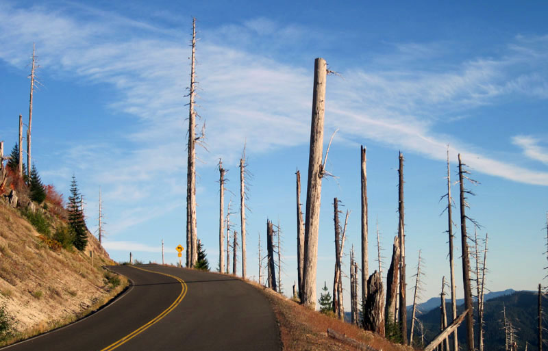
This time, I climbed smoothly and stopped only once, briefly, to stretch my legs on the steepest stretch. I felt a huge sense of accomplishment when I reached Norway Pass and joined the ‘main’ road to Windy Ridge. The blasted trees from the 1980 eruption make this area a bit desolate. The lack of trees allows you to look over the Cascade Mountains and see the volcanic peaks of Pahto (Mt. Adams), Tahoma (Mt. Rainier) and Wy’east (Mt. Hood) in the distance. It’s a rare feeling of being on top of the world.
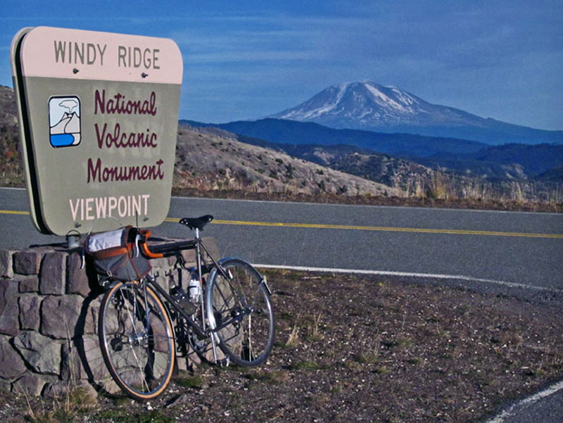
I resisted the temptation to take one scenic photo after another. October days are short, and the sun was getting low in the sky when I reached Windy Ridge, where the paved road ends just below the crater of Loowit (Mount St. Helens). The setting sun backlit the big volcano that blew its top in 1980, so I took a photo of Pahto (Mount Adams), its neighbor to the east. Then I had to hurry, as my schedule called for descending Forest Road 25 before dark. I barely made it into the valley before it got completely dark and I turned on my Edelux headlight.
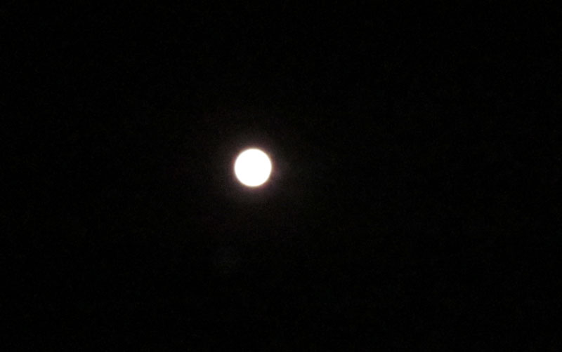
After a brief rest stop in Packwood, where the food is best forgotten, I headed up Cayuse Pass, then Chinook Pass. Tahoma (Mount Rainier) was gleaming in the light of the full moon. It was a remarkable sight. My small digital camera could capture only the moon, which is why you don’t also see Mount Rainier in the photo. (I tried…) Now I understand why Ansel Adams kept coming back to the western mountain ranges to photograph them in moonlight… It’s magical, especially on a warm night like this one.
For almost two hours of climbing, I did not see a single car. Even though it was warm for an October night, it’s always cold on the eastern slopes of the Cascade Mountains. I put on every bit of clothing I brought for the descent from Chinook Pass: wool shorts, Windstopper leg warmers, wool tights, wool socks, booties, two long-sleeve wool jerseys, rain jacket, fleece gloves, shell overmitts, skull cap and helmet. Now you know why I carry such a large handlebar bag. I was glad I had all those clothes, as the long descent was chilldy. The silvery light of the moon offered views of the valley below and of the rocky slopes.
When I finally did feel sleepy way past midnight, I was already approaching Cliffdell, a tiny hamlet in the center of the Cascade Mountains. I stopped at a small store that had a wooden porch, removed my helmet and lay down for a short nap. I fell asleep immediately. I woke up because I was getting cold. I checked my watch: Only 9 minutes had passed, but I was ready to go.
I usually try to find backroad alternatives to the main highways, but I hadn’t investigated this area yet—and I figured that there wouldn’t be much traffic at night. As ‘luck’ would have it, a massive landslide has blocked the highway, and traffic was re-routed over an older road that meanders along the river. Eventually, the highway will be rebuilt, but I will continue to use the wonderful backroad I discovered that night.
My hasty preparation let me down in Yakima. My cue sheet showed a ‘T-junction.’ I anticipated that junction for a long time… until I found myself almost in Yakima. After more than an hour riding on various highways, I found a gas station and borrowed a map. I realized that my ‘T junction’ was actually a small side road that speared off the highway in the middle of a curve. I had followed the road to the right, and never noticed the small side road I wanted to take. Too late now, so I took the highway out of town again, until I reached Canyon Road toward Ellensburg.
Canyon Road is lovely, but the moon had set, and it was too dark to see much. I enjoyed the road rising and falling along the sides of the canyon, although I was distracted with thoughts of breakfast. One of my favorite restaurants on the eastern side of the mountains, the Valley Cafe, is in Ellensburg. I arrived at 7 in the morning with dreams of a most copious and delicious breakfast. Alas, the cafe opened at 11. Instead of breakfast, I got to fix a flat tire at a grocery store! A long thorn had punctured my tube.
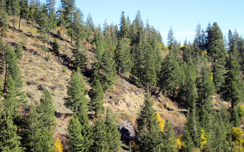
At least it was a gorgeous morning. My misfortune in Yakima had put me behind schedule. I decided to forgo the short detour over Old Highway 10 that loops above the Yakima River. Instead, I headed straight toward old Blewett Pass. The old road up this pass blends into the landscape: You can barely see it in the photo above.
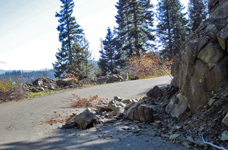
The mountains continuously try to reclaim this road. I rounded a sharp bend and came upon a few rocks that had fallen onto the road. I was reminded once more why I prefer bikes that don’t corner ‘on rails,’ but allow adjusting their line in mid-corner. Good brakes are useful, too.
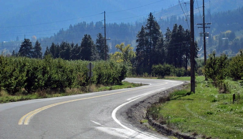
Favorite roads aren’t always super-spectacular. Sometimes, they just provide a pleasant alternative to a major highway. Between Peshastin and Leavenworth, there is a lovely road winding over the glacial terraces above the Wenatchee River. Who wouldn’t rather ride through the orchards up here than on the busy highway in the valley?
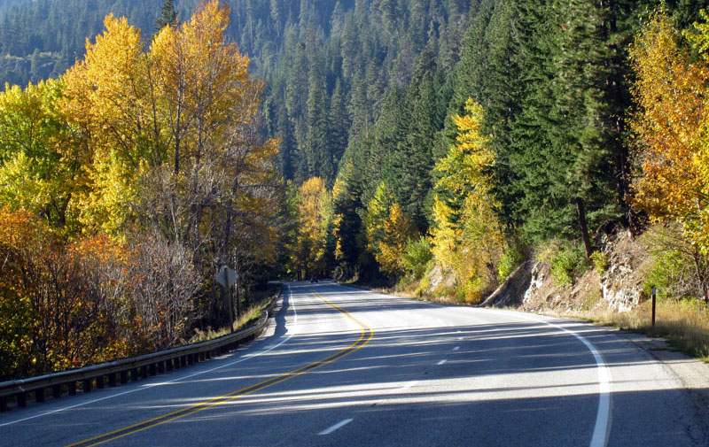
I haven’t found any alternatives to most of the main highway up to Stevens Pass, but traffic was light, the shoulder was clean, and the trees had beautiful fall colors. Life was good, even if my legs were getting tired after more than 36 hours on the road.

I reached Stevens Pass as the light began to fade at the end of the second day of my ride. Once more on the crest of the Cascade Mountains, I now descended back into the Puget Lowland.
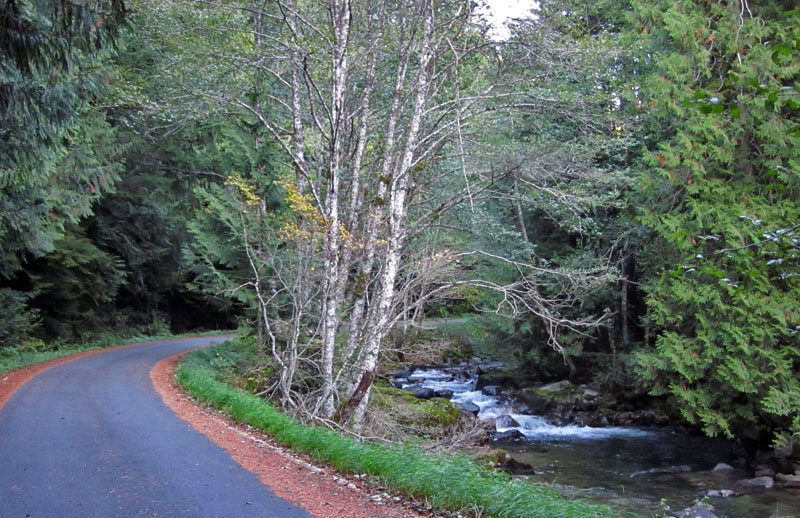
The old highway remains intact for many miles, often just a hundred feet from the busy highway. Instead of trucks thundering down the grade, you hear the babbling of a brook, which eventually will become the mighty Skykomish River. That evening, lots of chipmunks scampered off the road as I approached.
I zoomed through Skykomish, then took the side road to Index. I climbed over Reiter Road as the sun was setting over the Puget Sound far to the west. Reiter Road is perhaps the crown jewel of any ride. I was afraid that after more than 800 km (500 miles) on the road, I would regret taking this rolling road instead of the gentle downhill of the highway, but the opposite happened. I felt inspired by the road, and it mobilized energies I did not know I had. This newfound energy carried me all the way to the outskirts of Seattle. I was home before midnight and back at my desk the next morning.


