Seattle to Portland through the Backdoor
Recently, I had to return a Bicycle Quarterly test bike to MAP Cycles in Portland. I really don’t like boxing up bikes, and very much prefer to ride them. Boxing a bike takes half a day, riding to Portland about a day, so it was an easy choice to ride to Portland.
Seattle to Portland (STP) is a popular ride that draws thousands of riders every year. The 320 km (200 miles) ride goes through the densely populated Puget Lowland. It’s flat, but not what I would call scenic. I love riding in the mountains, away from traffic and civilization. So I designed an alternate course to the STP route, which minimizes the time spent on busy roads.
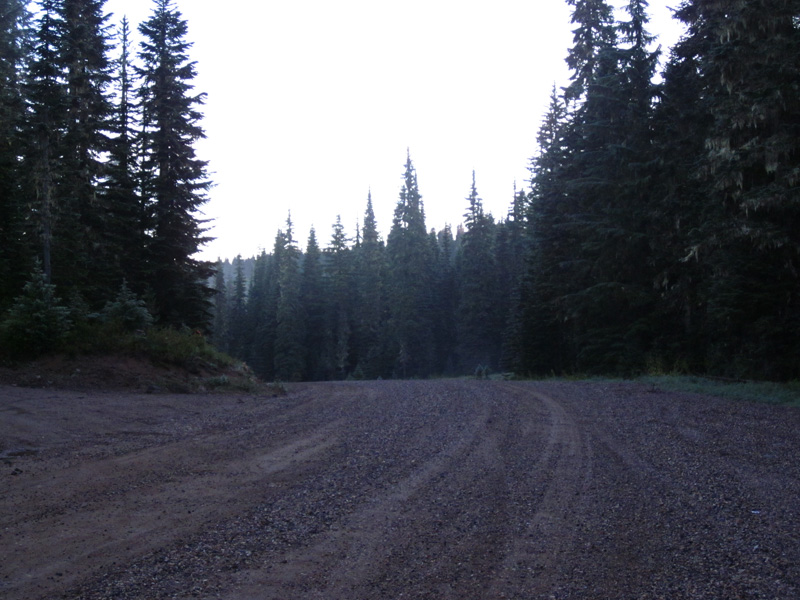
I left Seattle after dinner, and rode on empty roads through the city and the industrial areas of Renton. Then I continued on empty winding roads to Orting and Eatonville. I skirted Mount Rainier and stopped for a resupply in Morton just past midnight. In Randle, I turned toward Mount Adams on Cispus Road. With a new moon and cloudy skies, the landscape outside the beam of the MAP’s Edelux headlight was so dark that I rode through the hamlet of Cispus without noticing it. The gravel road up Babyshoe Pass was rougher than I remembered, but the MAP’s 650B x 42 mm tires coped very well after I had reduced the tire pressure. Daybreak saw me approaching Babyshoe Pass. I had not seen a car in at least 4 hours.
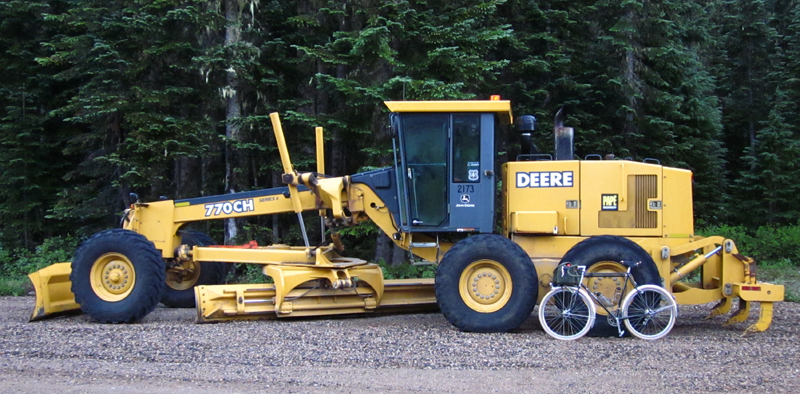
A huge grader was parked on the pass, so hopefully the road will be better next time I ride it.
The sun rose, and by 8:20, when I rolled into Trout Lake, it was the beginning of a beautiful day. I arrived in perfect time for breakfast at the general store.
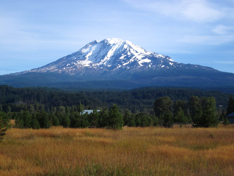
From here, the back road to Carson winds through the forest, with occasional views of Mount Adams in the meadows.
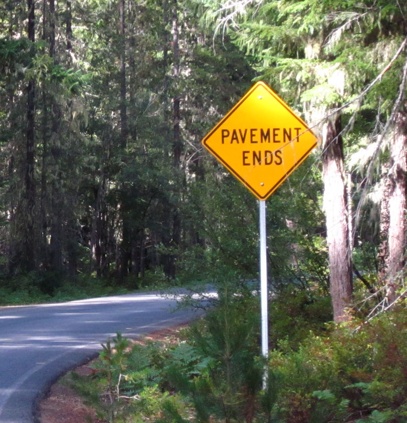
There was almost no traffic. Soon, a sign appeared that delights riders of Allroad bikes:
Unlike the gravel on Babyshoe Pass, Carson-Guler Road road was smooth. After the rain of the previous days, the gravel was soft, so once again, I let out some air from my tires to increase floatation. After a few hours, I was back on pavement, with a magic, twisty descent on Panther Creek Road—one of the best descents anywhere. The MAP handled beautifully and the wide tires (re-inflated to their normal 40 psi) hugged the undulating pavement. Sunlight filtered through the trees, dappling the pavement with a beautiful pattern of light and shade. I could have continued to ride like this for hours…
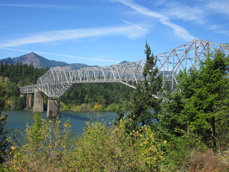
After an early lunch in Carson, I crossed the Columbia River on the Bridge of the Gods. I huge wind was blowing down the gorge, but fortunately, the MAP’s geometry was not overly affected by the crosswind.
The name “Bridge of the Gods” stems from a Native American legend of an ancient stone bridge that crossed the river here. One day, during a quarrel between two gods over a beautiful maiden, the earth shook, and the bridge collapsed. Its stones fell into the water, where they formed the rapids of The Dalles. More recently, geologists have found evidence of a giant landslide that dammed the river, forming the “bridge.” Eventually, the mighty Columbia River breached the dam, and the bridge was destroyed.
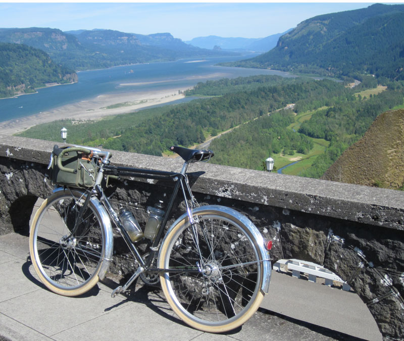
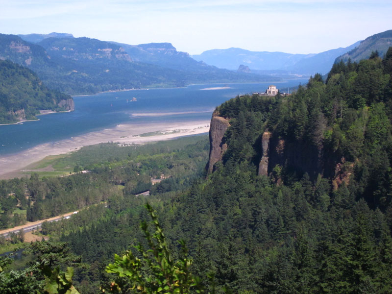
On the south shore of the great river, a series of trails leads along Interstate 84. Going west, I had to travel about two miles on the shoulder of the freeway, the rest was on trails and then the beautiful Historic Columbia River Highway. This road winds its way through the forest, past the famous waterfalls, crossing bridges with art nouveau railings that are covered with moss: The road was built in the 1920s, and today sees little traffic as most drivers use the Interstate highway that now parallels it. The old road then climbs in a wonderful series of switchbacks to a series of scenic overlooks.
To think that most travelers to Portland drive on the freeway and never get to see these views… The old highway ends in the suburbs of Portland, but fortunately, Marine Drive along the river has a wonderful (unpaved) bike trail that got me close to the center of town. I arrived at Mitch Pryor’s MAP Bicycles in the afternoon, after 21 hours on the road. I had a little less than two hours to freshen up, buy dinner and walk to the train station for the ride home.
It was a thoroughly enjoyable ride. If you think of riding from Seattle to Portland, I recommend taking an “inland” route away from traffic. If your bike is not suited to gravel roads, you can go from Randle up Forest Road 25 to Elk Summit, and then continue to Carson via Northwoods.


